How Scientists Read the Health of Coastal Water
A reliable picture of a coastline combines samples, sensors and repeated observation over time.
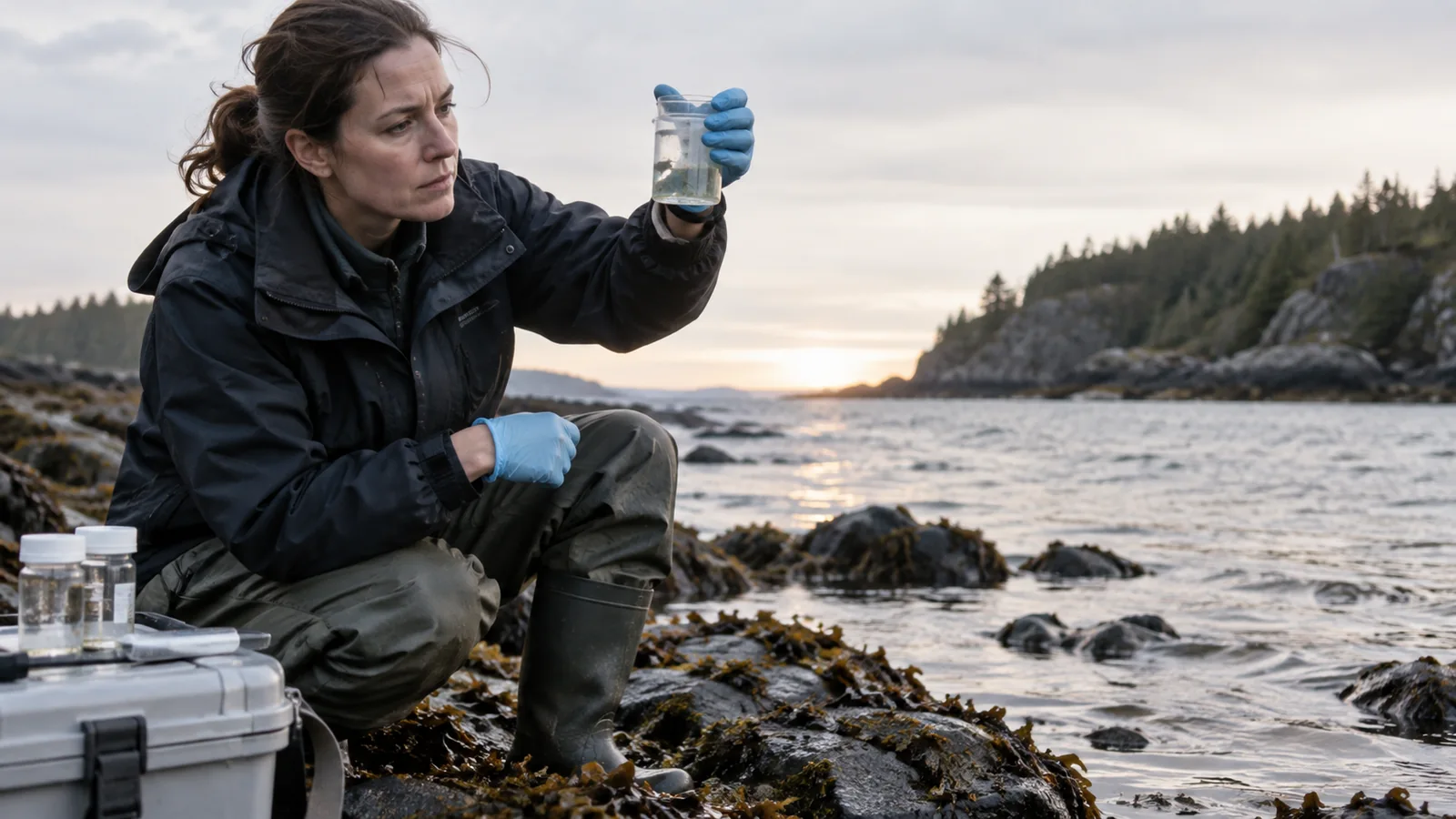
A reliable picture of a coastline combines samples, sensors and repeated observation over time.
KEY TAKEAWAYS- Water quality can change with tides, rainfall, temperature and nearby activity.
- Long-running monitoring programs help distinguish a temporary spike from a persistent trend.
- Researchers first decide what they need to know: whether a beach is safe for swimming, whether nutrients are changing or whether an estuary can support particular species.
- Dissolved oxygen is important because many aquatic organisms need it to survive.
- A coastline changes across seasons and years.
One sample is a snapshot
Water quality can change with tides, rainfall, temperature and nearby activity. Researchers therefore record where and when a sample was taken and repeat measurements across conditions.
Different indicators answer different questions. Dissolved oxygen matters for marine life; nutrient concentrations can point to runoff; bacteria tests help assess bathing safety. No single number describes an entire ecosystem.
Turning measurements into decisions
Long-running monitoring programs help distinguish a temporary spike from a persistent trend. Results need context, including laboratory methods and the thresholds used by local authorities.
Open data can help communities understand a result, but visualizations should preserve uncertainty. A clear explanation of what was measured is often more valuable than a dramatic color-coded map.
A sampling plan begins with a question
Researchers first decide what they need to know: whether a beach is safe for swimming, whether nutrients are changing or whether an estuary can support particular species. That question determines where to sample, which indicators to measure and how often to return. A single convenient location may miss an outfall, a shallow bay or a current that carries water in another direction.
Sampling plans also record the surrounding conditions. Rainfall can wash material from land into the sea; tides can dilute or concentrate it; temperature and sunlight affect biological processes. Without that context, two samples taken from the same point may appear contradictory. A careful field record helps scientists interpret the difference rather than dismiss it as noise.
Different measures tell different stories
Dissolved oxygen is important because many aquatic organisms need it to survive. High nutrient levels can encourage algal growth, though their effects depend on the wider ecosystem. Bacterial indicators can help identify a potential risk to swimmers, but they do not by themselves identify every source of contamination. Researchers select a set of measures that fits the decision at hand.
Methods matter as much as numbers. Instruments need calibration, samples must be handled properly, and laboratories report detection limits. A result near a threshold should be read with those limits in mind. Good public communication explains what the measurement means and what it does not, rather than presenting a decimal place as absolute certainty.
Why trends require patience
A coastline changes across seasons and years. Repeated observations can show whether an unusual result is part of a longer pattern. Long records are especially valuable when a community is evaluating a restoration project or a change in land use. If measurement methods change midway through a series, analysts should explain how comparisons remain valid.
It is tempting to turn a complex record into a simple ranking of good and bad places. That can be useful for a specific purpose, such as a bathing advisory, but it cannot summarize every aspect of an ecosystem. A beach might meet one standard while facing a separate habitat problem. The labels should always be tied to the question they answer.
From evidence to action
Monitoring becomes most useful when agencies and communities know what action a result will trigger. That might mean an additional test, a public warning, an investigation upstream or a review of wastewater infrastructure. Publishing data without a plan for interpretation can leave people uncertain about what to do.
Residents can ask whether sampling locations reflect where people actually swim or fish, how quickly results are released and whether unusual readings are followed up. Scientists, public-health teams and local users often bring different knowledge to the same stretch of water. Combining those perspectives produces a more useful picture than any single instrument can provide.
The role of local knowledge
Fishers, swimmers and residents may notice an odor, a change in clarity or a recurring problem after rain long before a formal data series is published. Their observations can help researchers choose sampling points and times. They do not replace laboratory tests, but they can reveal patterns that a fixed monitoring route might miss.
A trustworthy program gives communities a way to report concerns and explains how those reports will be assessed. It also returns results in a form people can use. A technical spreadsheet is valuable for specialists; a plain-language explanation of where, when and why a sample matters helps the public act on the evidence.
Uncertainty belongs in the result
A reading close to a regulatory threshold can change with sampling variability or measurement error. Scientists may repeat the test or examine nearby sites before drawing a broad conclusion. Public communication should be clear about those steps. Calling every unusual result a crisis can erode trust; minimizing a persistent pattern can do the same.
The strongest coastal-water reporting connects a measurement to the decision it supports. Is the question safe recreation today, the condition of marine habitat over years or the source of a pollutant? Each requires a different timescale and evidence. Naming the question is the first step toward a useful answer.